


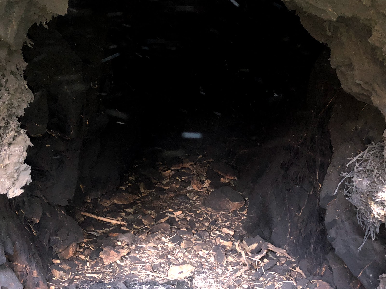
Adit one of the Corrine mine. This photograph was taken by Jeremy Tuggle on August 1, 2016
The Corrine mine was part of the Salt Creek Group of Mines which included the Bonanza, Gold Coin, Jumbo and Phoenix claims. The Corrine was the largest lucrative producer of gold amongst them. It is located one mile west of Redding on Salt Creek, and was originally in the Lower Springs mining district. The mine is on the opposite side of the Salt Creek Trail along Highway 299 West. A miner and prospector by the name of E.P. Connor owned the mine in 1897. That year, Connor had an arrastra erected on his Salt Creek mining property.
The arrastra measured at 10 inches in diameter and it was used to help crush the ore. A ditch was dug by his miners from Salt Creek to the mining claims on the property. When water was available it assisted the miners in the extraction of the ore they sought after. In later years, the arrastra was torn down and it was replaced by a stamp mill. The stamp mill crushed the rock in a vertical position rather than a circular position like an arrastra did.
In 1901, C. Watson & W.D. Watson acquired a lease from Connor to work the mining property. The Watson brothers were exploring in a crosscut tunnel of 100 feet on the property and they cut out new drifts which were 3 ft., on the ledge of the tunnel. Drifts were a slightly horizontal passage ways which followed a vein of ore. They were also working on a series of upraises.

Above: a portion of the Corrine mining property, along Salt Creek. This photograph was taken by Jeremy Tuggle on August 1, 2016.
In 1915, the Corrine mining property included 160 acres of land and it was owned by E.P. Connor and J.C. Connor of Redding. They hired two miners to operate their mine that year. The property contained four tunnels ranging between 60 to 430 feet long, and a 110 foot shaft, in which their miners toiled away in as they extracted the ore. The gold is mixed in with sulphides. It also contained a 200 foot pay shoot which was 15 inches wide.

Above: adit two with its iron gate intact. This photograph was taken by Jeremy Tuggle on August 1, 2016.
The Connor siblings placed a five stamp mill on the property which weighed 750 pounds in stamps. It crushed the rock for them that they obtained on the property. They also placed one Wilfrey table on the property. Wilfrey table’s were concentrating tables used by miners for preliminary scaling. A year later, the production of the Corrine mine stopped and the mine laid idled and abandoned. The production notes for this mine were not kept.
On July 23, 2018, the Carr Fire which began near the junction of Carr Power House Road and Highway 299 West at Whiskeytown district ravaged places in its course of destruction from there to this historic mining site. The fire burnt through Salt Creek’s channel and burned through the abandoned mine. Today, its part of the Kett mining district due to the boundaries of the Lower Springs mining district changing. The adits on the property survived the disastrous flames but the adit of number two had its iron gate blown out.

Above: the destruction from the Carr Fire. A burnt out Salt Creek channel at the Corrine mine. This photograph was taken by Jeremy Tuggle on August 12, 2018.

Above: the destruction from the Carr Fire, a portion of the Corrine mine tailing's. This photograph was taken by Jeremy Tuggle on August 12, 2018.

Above the destruction from the Carr Fire at adit one. This photograph was taken by Jeremy Tuggle on August 12, 2018.

Above: a close-up of adit one at the Corrine mine. This photograph was taken by Jeremy Tuggle on August 12, 2018.

Above: looking in between the iron gate at the entrance of the tunnel of adit one. This photograph was taken by Jeremy Tuggle on August 12, 2018.

Above: destruction from the Carr Fire, note the burnt ground. A portion of the Corrine mining property, along Salt Creek. Above: a portion of the Corrine mining property, along Salt Creek. This photograph was taken by Jeremy Tuggle on August 12, 2018.

Above: destruction from the Carr Fire, note the burnt ground. A portion of the Corrine mining property, along Salt Creek. Above: a portion of the Corrine mining property, along Salt Creek. This photograph was taken by Jeremy Tuggle on August 12, 2018.

Above: adit two with its iron gate blown out. Note: the burnt rock walls. Destruction from the Carr Fire, the fire went inside this portion of the tunnel. This photograph was taken by Jeremy Tuggle on August 12, 2018.
Above: the view inside adit two. Note: the burnt rock walls. Destruction from the Carr Fire, the fire went inside this portion of the tunnel. This photograph was taken by Jeremy Tuggle on August 12, 2018.

Above: a slightly different view of adit two. Note: the burnt rock walls. Destruction from the Carr Fire, the fire went inside this portion of the tunnel. This photograph was taken by Jeremy Tuggle on August 12, 2018.
RESOURCES:
Appendix to the Journals of the Senate and Assembly of the Thirty-Second Session, of the Legislature of the State of California, Volume V. Report of State Mineralogist ©1897 Sacramento, California, by A.J. Johnston, page 364.
Mining Notes - The Shasta Courier newspaper, February 25, 1899
The Engineering And Mining Journal Volume LXXII ©1901, Page 146.
Mines and Mineral Resources of Shasta County, Siskiyou County, and Trinity County, by G. Chester Brown, ©1915 published by California State Printing Office. Page 39.
Mines and Mineral Resources of Shasta County, ©1974, Philip A. Lyden & J.C. O'Brien
No comments:
Post a Comment
Note: Only a member of this blog may post a comment.